In Colombia, measuring a trip or an experience in kilometers isn’t very useful. There are around 100 kilometers between Armenia and Manizales, but the map doesn’t account for the curves, the slopes, the trucks, the sudden rain nor the stops that inevitably appear along the way. In the Coffee Axis, that geography that complicates travel is what has built much of its identity.
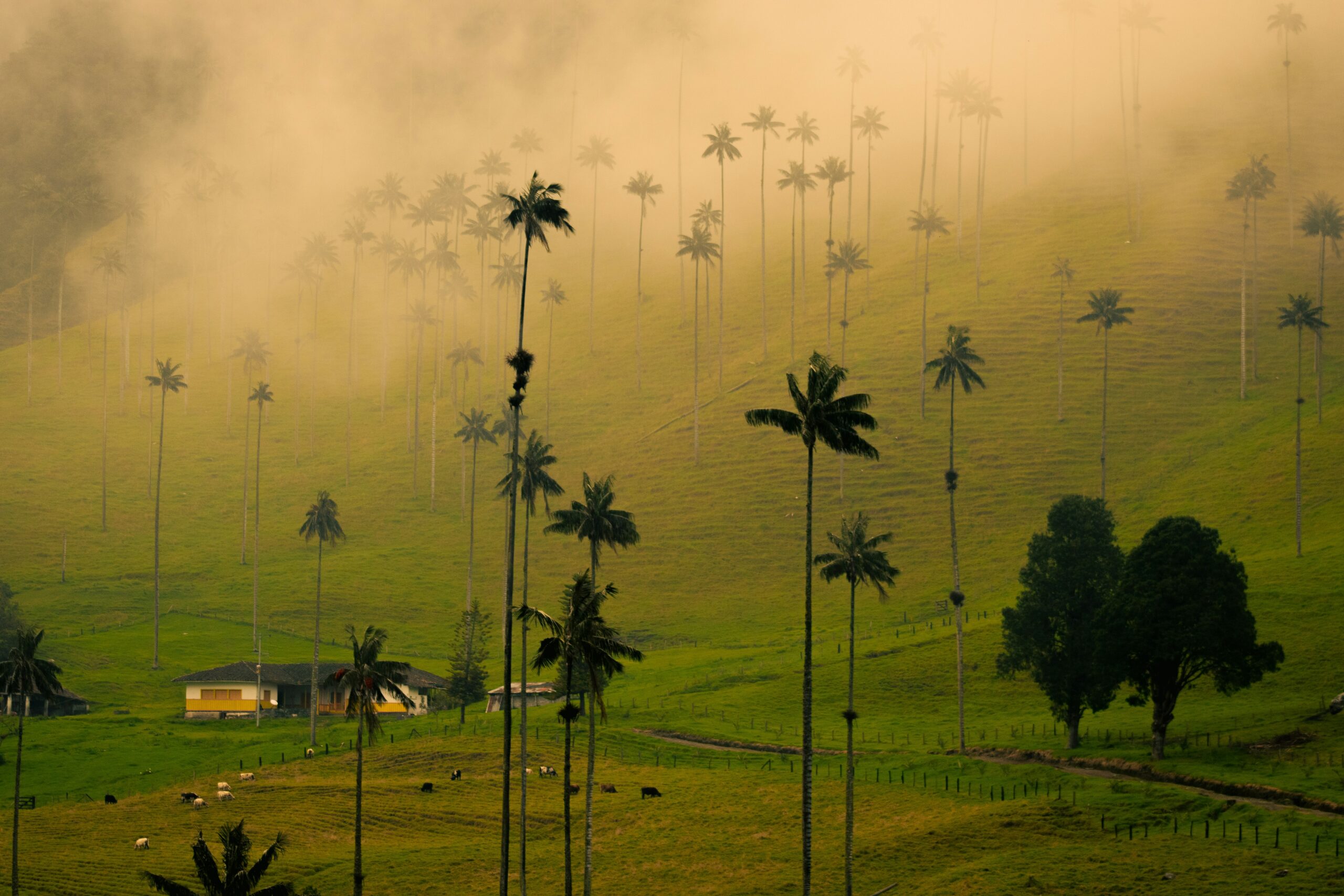
It has also created one of the country’s most recognizable landscapes: crops climbing up slopes, towns perched in the highlands, colorful houses, guadua forests, banana plantations, cloud forests and roads from which one continually feels like stopping. Coffee is everywhere, obviously, but reducing the trip to visiting a finca and learning to distinguish Arabica would be missing the point.
The Coffee Axis is centered mainly around Caldas, Risaralda and Quindío, with Manizales, Pereira and Armenia as reference capitals, although the UNESCO-recognized Coffee Cultural Landscape also extends into the northern Valley of Cauca. The designation came in 2011 and comprises six agricultural areas and 18 urban centers. What matters lies behind those figures: a living, productive landscape is being protected.
That is why it is worth reserving at least five or six days.